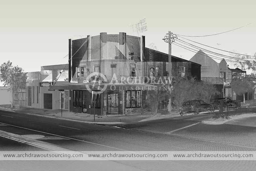
If BIM and the digital model are widely adopted in new buildings, their implementation in the renovation, rehabilitation projects, or simply for maintenance and operation of buildings is not easy. First, you have to capture reality using laser scanner technology and then proceed to model the survey to a digital model.
Why use 3D scanners?
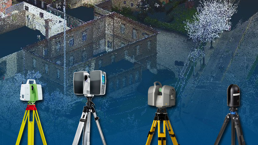
Because it is estimated that a survey is 5 times faster than the traditional method, 3D scanners are today the optimal entry point for the creation of a digital model of the existing one. Whether stationary or mobile, scanners project a laser in all directions around its axis to detect the distances from each wall. Different models exist with prices varying with more or less important levels of precision. 3D scanners are the most efficient and reliable answer for digitizing a building. In fact, unlike 2D plans, which very often prove to be obsolete, these machines carry out a survey of the “as-built”, taking into account all the peculiarities of the structure. From a scanner report, it is then possible to carry out several deliverables such as digital plans/models (interiors, facades, etc.), but also area calculations. The statement thus represents an excellent basis for technical or legal studies.
The BIM digital model made from a 3D laser scanner is becoming more common in real estate recognizes and a growing share of professionals are using scanners. By integrating information from the diagnosis, such as the presence of asbestos, it allows a better understanding of the building by the contracting authority and represents real added value for the services of the recognizer. This is particularly the case for social landlords whose number of tenders in this direction is increasing.
What are the steps to follow for a successful scan?
If you want to digitize your assets in order to create a digital model, you must either acquire or rent a scan, or call on a service provider (surveyors, scanning companies, etc.). The scanner reading can be done in any type of infrastructure, empty or not, but the time spent scanning will be more or less high depending on the space requirement. The site survey then generates what are called point clouds: three-dimensional georeferenced coordination points.
These point clouds are then merged to obtain a single file, which must be reprocessed, “transferred”, manually using dedicated CAD software in order to create a digital 3D model.


What are the limits of this method and the solutions?
The main limitations of the scanner survey are, on the one hand, the price of the equipment, which is certainly constantly falling, but which still represents a significant investment, especially for small structures. This is why the rental option can be a solution if you want to internalize this skill.
On the other hand, laser scanner technologies are able to capture only what is visible. To digitize networks, for example, remove false ceilings.
The result of this reading is represented by a point cloud, which itself contains thousands or even millions of points. Given the large amount of information it contains, this file is often very large, which makes sharing and storage restrictive. The typology of the building also largely influences its weight. For example, the point cloud of a 21,000m² high school building can weigh 120 GB. Also, reprocessing a 120 GB cloud on CAD software is tedious and requires a machine with significant computing power.
But don’t worry too much about it! Archdraw Outsourcing has vast experience of building information modeling to build 3D models from point cloud data. We have an expert team for accurate and high quality 3D modeling services.
Do you have questions, or would you like to be put in touch with us? Contact the Archdraw Outsourcing team for a complete personalized Scan to BIM Services for your project.


Thanks, your write up is really insightful nice and helpful content. Thanks for sharing a helpful article with us.